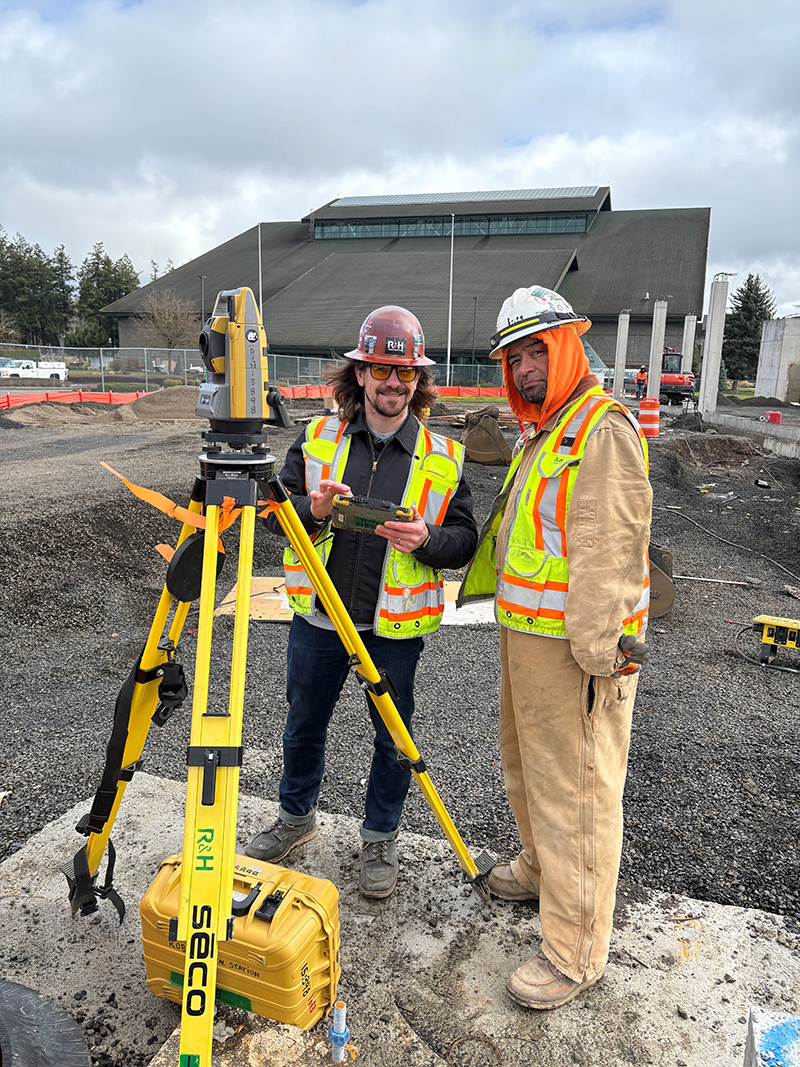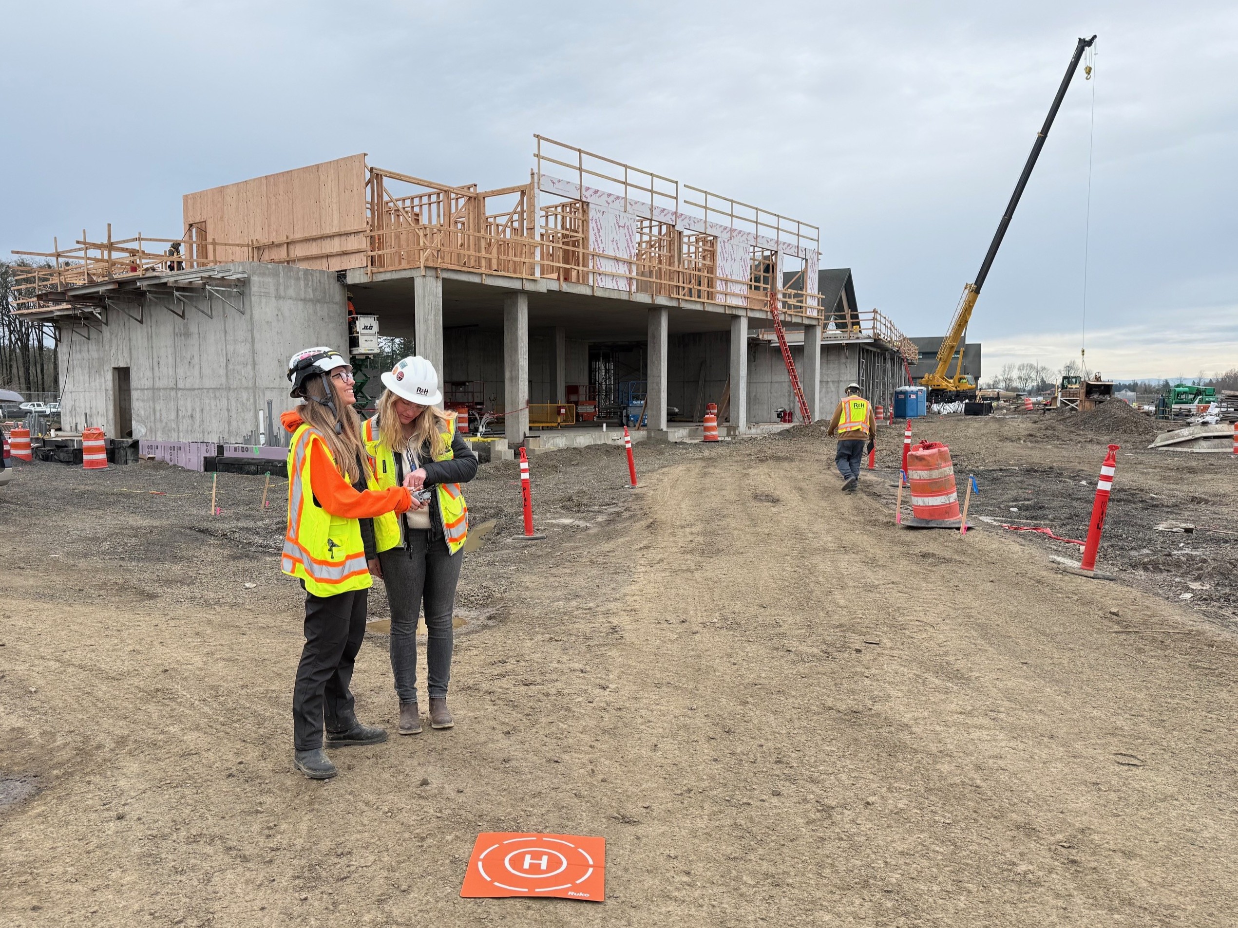
Drones are an invaluable field tool on R&H project sites, strengthening planning, coordination and documentation throughout a project’s lifecycle. Before construction begins, drone flights capture high-resolution imagery of existing site conditions to support logistics planning, trailer and laydown coordination and utility location. This early documentation establishes a visual baseline that aligns owners, design partners and subcontractors around real-time site conditions.
Licensed R&H drone operators take to the skies weekly to capture progress footage of the new AC Hotel, a 5-story hospitality project underway in McMinnville, OR.
As construction progresses, drones document key milestones and work that will soon be concealed, including excavation, underground utilities, foundations, structural systems and envelope components. GPS-coordinated flights allow images to be captured from consistent positions over time, creating reliable progress records and visual comparisons. Imagery can also be developed into orthomosaic maps that integrate with survey and architectural files, supporting quality assurance, layout verification and clearer communication in owner meetings and project reporting.